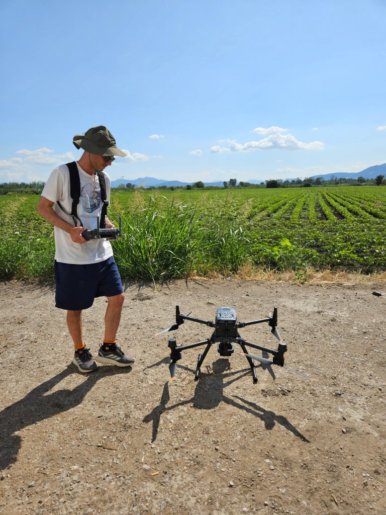
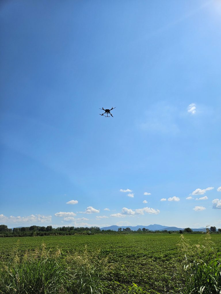
On 11 July 2025, a scheduled flight was carried out within the framework of the AgroSense project over the experimental cotton fields.
The survey included the typical multispectral data acquisition using a DJI Mavic 3M drone, with LiDAR scanning added using a DJI Matrice 350 RTK equipped with the Zenmuse L2 LiDAR camera.
This combination of standard multispectral monitoring with additional LiDAR data provides enhanced, high-resolution insights into crop structure and condition, reinforcing the project’s integrated approach to precision agriculture through remote sensing.