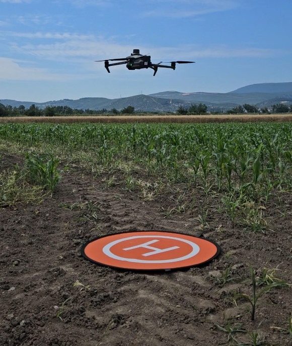
The DJI Mavic 3M is a multispectral drone designed for precision agriculture and environmental monitoring. It features a multispectral camera with four bands—green (560 nm), red (650 nm), red edge (730 nm), and near-infrared (860 nm), along with an RGB camera. These bands enable the calculation of vegetation indices, which are useful for assessing crop health and growth conditions. Its high accuracy and integrated RTK module make it ideal for mapping, crop monitoring, and variable-rate application planning.
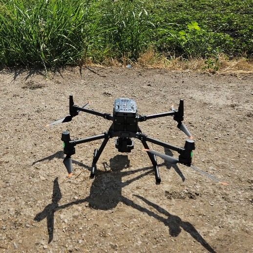
The Matrice 350 RTK is a high-end industrial drone platform for robust operations in challenging conditions. It supports multiple payloads simultaneously and incorporates integrated RTK for centimeter-level positioning.
The Zenmuse L2 payload combines a frame LiDAR scanner, high-accuracy IMU, and a 4/3″ RGB mapping camera. It offers detection ranges up to ~450 m (50% reflectivity) and supports dense point-cloud output.
In agricultural applications this combination enables:
- Precise 3D terrain and crop-biomass modelling (via LiDAR) and stand-/tree-count mapping from a single flight.
- Enhanced data collection in large parcels with improved accuracy of digital elevation models (DEM) and better structural insight of crops, which supports precision agriculture workflows.
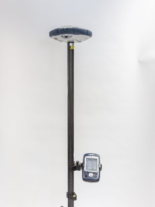
The Spectra Geospatial SP60 GNSS receiver is a versatile and compact multi-constellation satellite receiver designed for high-accuracy positioning in the field. It provides reliable centimeter-level accuracy with RTK corrections. In agricultural and environmental applications, the SP60 is used for field surveying, ground control point collection, and georeferencing drone or satellite data. Its rugged design and long battery life make it ideal for demanding fieldwork in precision agriculture and remote sensing projects.
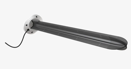
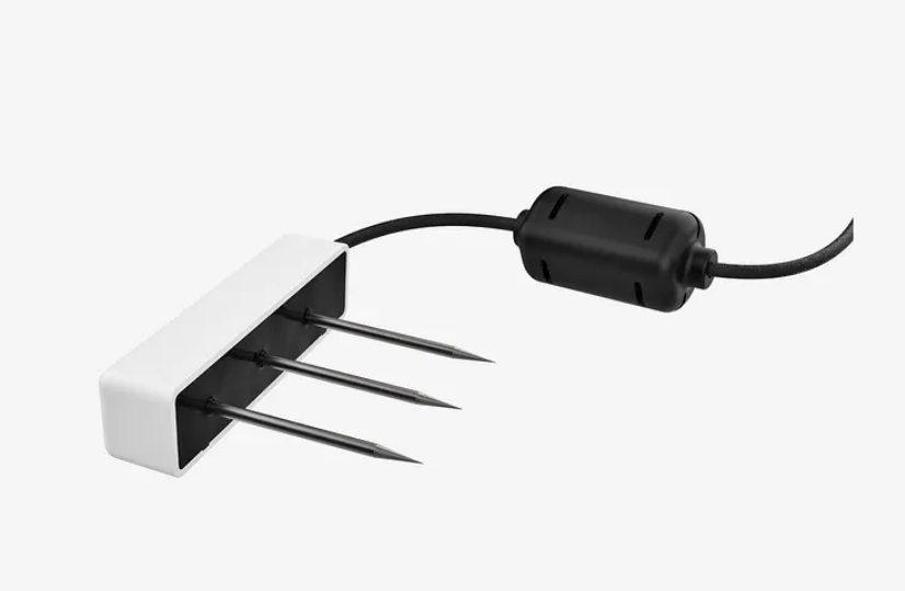
The AgroSense project utilizes a soil sensor system designed to monitor soil-water dynamics in the experimental fields. This system includes the following equipment from METER Group:
- TEROS 54 (360° soil moisture probes)
- TEROS 12 sensors
These sensors deliver high-frequency and reliable measurements, minimizing the influence of soil texture and salinity. With factory calibrations from METER, they achieve an accuracy of ±3%.
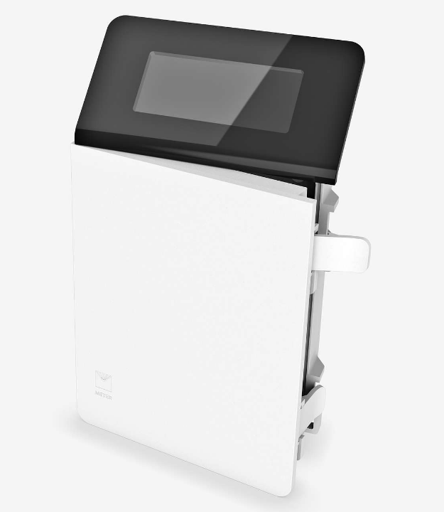
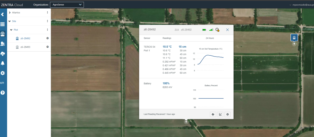
The TEROS sensors are low-power and robust, making them suitable for long-term operation under field conditions. They are connected to ZL6 Cellular Data Loggers and the ZENTRA Cloud platform, which allow the collected measurements to be stored, managed, and visualized in real time.
This setup enables the AgroSense project to obtain reliable soil moisture data, supporting the monitoring of crop conditions and the evaluation of field management practices.